
Super El Niño strengthening, world faces threat of severe disasters
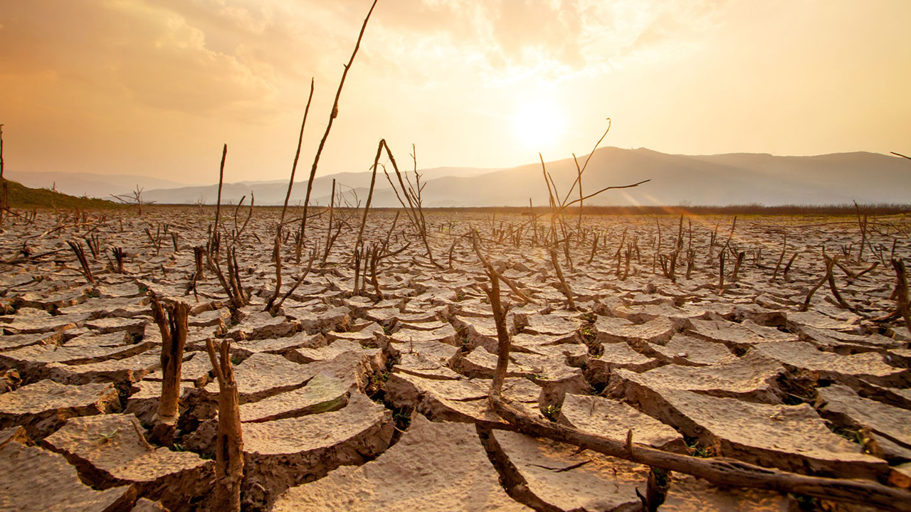
The El Niño climate pattern, one of the world's most influential weather drivers, is expected to strengthen significantly between July and September this year, according to a warning issued by the World Meteorological Organization (WMO) on Friday (July 3).
The organization warned that the intensified El Niño could trigger severe weather disasters across the globe, including more frequent and intense heatwaves, droughts, heavy rainfall, and other extreme weather events.
According to the WMO, El Niño conditions have already developed in the tropical Pacific Ocean and are likely to intensify rapidly over the coming months. The organization is working with governments and humanitarian agencies worldwide to help prepare for potential impacts.
It is also strengthening climate information services, coordination efforts, and early warning systems to protect climate-sensitive sectors such as agriculture and public health, as well as vulnerable populations.
The WMO's latest Global Seasonal Climate Update indicates that El Niño is expected to evolve into a strong event during the July–September period.
Multi-model forecasts from international climate centers show that sea surface temperatures across the central and eastern equatorial Pacific are continuing to rise.
In key monitoring regions, sea surface temperatures could exceed normal levels by more than 2 degrees Celsius. The consistency among advanced climate models has increased scientists' confidence in this forecast.
The outlook also suggests that El Niño will continue strengthening throughout the Northern Hemisphere autumn, with its impacts spreading across many regions of the world.
WMO Secretary-General Celeste Saulo said that El Niño has already begun and is expected to intensify rapidly.
She noted that it will significantly increase the risk of droughts and heavy rainfall in many parts of the world while also raising the likelihood of heatwaves over both land and oceans.
She added that improved seasonal forecasting and effective early warning systems are essential to saving lives and minimizing economic losses.
Global Impacts
El Niño and La Niña are the two opposite phases of the El Niño–Southern Oscillation (ENSO), one of the strongest natural drivers of year-to-year climate variability.
El Niño occurs when sea surface temperatures in the central and eastern equatorial Pacific Ocean become warmer than average.
Typically, El Niño develops once every two to seven years and lasts for approximately nine to twelve months. It usually begins forming between March and June, reaches peak intensity between November and February, and has its greatest influence on global temperatures during the year following its onset.
However, the impacts of each El Niño event vary depending on its strength, duration, timing, and interactions with other climate patterns, such as the Indian Ocean Dipole.
The WMO classifies El Niño events into four categories: weak, moderate, strong, and very strong. However, the term "Super El Niño" is not part of the WMO's official operational classification system.
Temperature Outlook
According to the Global Seasonal Climate Update, most populated regions of the world are expected to experience above-average temperatures between July and September.
The intensifying El Niño is already having a noticeable influence over the Pacific Ocean. There is an over 80 percent probability that sea surface temperatures east of the International Date Line in the equatorial Pacific will remain above normal.
Above-average ocean temperatures are also forecast across the Indian Ocean and the tropical Atlantic.
Rainfall Outlook
The July–September rainfall forecast is consistent with the development of a strong El Niño event.
Higher-than-normal rainfall is expected over the central and eastern equatorial Pacific. In contrast, below-average rainfall or drought conditions are forecast for parts of the tropical Indian Ocean, the Indian subcontinent, and large areas of Australia.
Across equatorial Africa, forecasters expect a pronounced east-west contrast. Areas bordering the Gulf of Guinea are likely to receive above-average rainfall, while the Greater Horn of Africa is expected to experience below-average precipitation.
Reduced rainfall is also forecast for Central America, the Caribbean, and northwestern South America. Meanwhile, parts of the southwestern United States could receive above-average rainfall.
In Europe, southern regions may experience wetter-than-normal conditions, while northern Europe could see below-average rainfall. However, forecasters caution that confidence in the European outlook remains relatively low.
Preparedness and Risk Management
The WMO is strengthening its climate information and support services worldwide to help countries anticipate and reduce the impacts of El Niño.
To support preparedness and disaster risk management, the United Nations system and humanitarian partners are receiving regular briefings. On June 24, a special briefing was held for UN agencies, during which the AGRHYMET Regional Climate Centre presented its regional forecast for the 2026 West African and Sahel rainy season.
In addition, the WMO is organizing a series of technical webinars and coordination meetings to further strengthen regional collaboration, communication, and preparedness efforts.